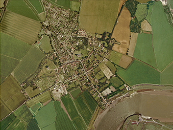
Aerial investigation and mapping can be used to identify areas in need of protection on a massive scale, providing data on entire regions that can inform land-management strategies, the local planning process and further investigations.
Techniques such as Lidar have helped to identify thousands of previously unknown sites which can now be monitored, researched and protected. Increasingly, archaeologists have recognised the value of identifying and protecting sites of historical importance without the need for excavation, which is a destructive, labour-intensive practice only suitable for specifically identified sites and on a limited scale.
Breckland has proven to be an area of particular interest, as poor soil quality has protected many archaeological features from the damage caused by agriculture. Lidar has revealed a wealth of information that would otherwise be inaccessible using traditional methods, as it is able to penetrate forest cover. The National Mapping Programme (NMP) has undertaken an archaeological survey of Breckland, running alongside two other major projects, ‘Brecks from Above’ and ‘Revealing the Landscape’.
Historic England are responsible for maintaining a national standard for aerial mapping. They provide a detailed overview of the applications of aerial investigation and mapping, as well as guidance on how to use archaeological mapping and the locations of major data repositories.
Visit historicengland.org.uk to find out more about Aerial Investigation »Useful Publications
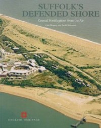
Suffolk's Defended Shore: Coastal Fortifications from the Air (2007)
by English Heritage and Suffolk County Council Archaeological Service
English Heritage(now known as Historic England) led the National Mapping Programme who funded a survey of military defences on the Suffolk coast. This used modern and historic aerial photographs in order to create a map of archaeological remains on the county’s coast. The book highlights the particular importance of aerial photographs to our understanding of the coastal defences constructed during the Second World War.
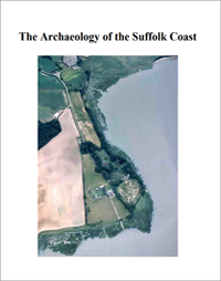
The Archaeology of the Suffolk Coast (2007)
by Suffolk County Council Archaeological Service
A guide to the historic environment of the coastal zone with the aim of informing future management. The report follows the programme of work undertaken to record coastal archaeology which was at risk from coastal erosion. The project consisted of aerial photography, assessment of historic maps and a field survey of the intertidal zone (see reports below).
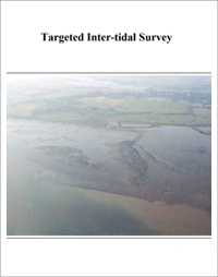
Targeted Inter-Tidal Survey (2007)
by Suffolk County Council Archaeological Service
A targeted survey of nine sites identified by the 2002-2003 field survey of the inter-tidal zone of the Suffolk coast. These were 6 post-built structures at Holbrook Bay, Snape Warren causeway, Trimley Marsh wood scatter and Barber’s Point.
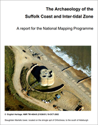
The Archaeology of the Suffolk Coast and Inter-tidal Zone: A report for the National Mapping Programme (2005)
by Suffolk County Council Archaeological Service
This report details the key findings from the Suffolk Coast and Inter-tidal Zone Mapping Project carried out by staff from Suffolk County Council between April 2001 and March 2004 as part of a wider project to assess the archaeology of the Norfolk and Suffolk coasts that also involved a field survey programme and documentary research. The report discusses the methodology and products of the air photo interpretation and mapping as well as providing some period and thematic summaries that highlight key results of the survey.
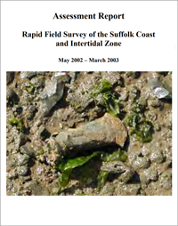
Rapid Field Survey of the Suffolk Coast and Intertidal Zone (2003)
by Suffolk County Council Archaeological Service
A field survey of the inter-tidal zone of the Suffolk coast and estuaries carried out between May 2002 and March 2003, walking salt-marsh and estuarine shorelines of the rivers Blyth, Alde, Ore, Butley, Deben, Orwell and the north bank of the Stour, looking for and recording features, structures and finds.
