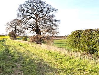
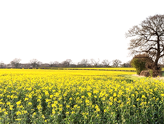
The ‘Survey of Suffolk Parish History’ summarises the history of each parish in the county. It touches upon every part of local history including administration, landscape, social, religious and economic characteristics, and covers a time span from the earliest archaeology to modern times. The survey was researched by Wendy Goult in the late 1980s and was first published in 1990.
Use the index below to explore the survey.
| A | B | C | D | E | F | G |
| H | I | K | L | M | N | O |
| P | R | S | T | U | W | Y |
Please note: There are no parishes in the survey beginning with J, Q, V, X or Z. The following parishes are also not available to view as part of the survey: Bury St Edmunds, Beck Row Holywell and Kenny Hill, Ipswich, Lowestoft, Newmarket, Pinewood, RAF Lakenheath, Red Lodge, Sudbury and Woodbridge.
Parishes prefixed with Great, Little, East and West are listed under their actual parish names, i.e. Great Barton is listed under B as Barton, Great.
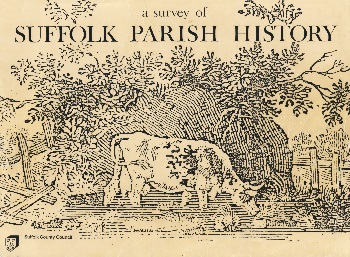
Image: Illustration featured on the front cover of A Survey of Suffolk Parish History
Map of Suffolk Parishes
Download the Map of Suffolk Parishes (PDF) »
(This file may not be suitable for users of assistive technology. Request an accessible format.)