Geophysical Survey is a survey method which allows us to see buried archaeology by taking a “picture” of what is under the soil without disturbing the ground. There are several different geophysical survey techniques, including magnetometry, resistivity and ground penetrating radar.
Geophysical Survey in the Deben Valley - 2021
Over the course of several weeks in 2021, 13 volunteers from the Suffolk Archaeological Field Group conducted a magnetometry survey on a ploughed field in the Deben Valley. The geophysical survey results show extensive activity over a wide area and possible occupation.
Read the 2021 article on our blog »
Geophysical Survey in the Deben Valley - 2019
In January 2019, local volunteers joined the Archaeological Service in Rendlesham to learn how to conduct geophysical survey using a magnetometer machine over a 100sqm area. It was possible to identify some possible features, including a historic track, ditch and pit type features, a palaeochannel and evidence of a demolished post-medieval building. Some of the pits looked similar to others in the adjacent field which when excavated were identified as sunken-featured buildings.
Read the 2019 article on our blog »
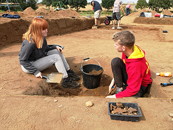
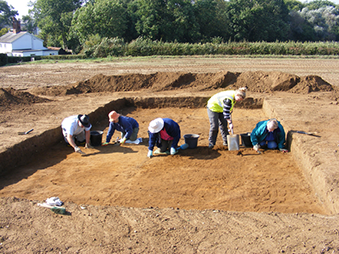
Geophysical Survey in Pictures
Use the arrows to scroll through the slideshow or view the whole album on flikr.com